Underwater Works
Geophysical works
ESC has the capability and experience with underwater surveys and investigations even in the toughest conditions, servicing mainly the dredging and offshore industries worldwide.
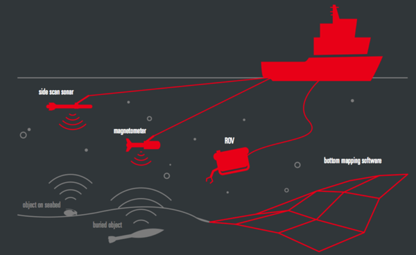
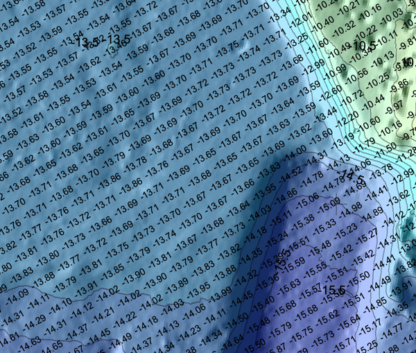
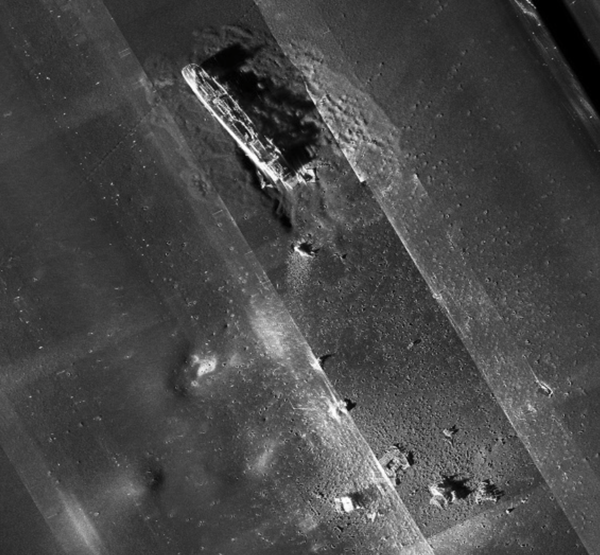
Geophysical surveys establish sea floor bathymetry, sea bed features, water depth and stratigraphy, as well as identify hazardous areas on the seafloor.
The techniques used consist of bathymetry mapping with conventional single or multibeam echo soundings or swathe bathymetry, sea floor mapping with side scan sonar or magnetometer readings, acoustic seismic profiling methods and high resolution digital surveys using airguns.
GEOPHYSICAL SERVICES PROVIDED
- Sub-bottom profiling
- Side Scan Sonar
- Bathymetry
- Ferromagnetic
EQUIPMENT USED
- Multi Beam Echo Sounder (MBES)
- Single Beam Echo Sounder (SBES)
- Side Scan Sonar (SSS)
- Sub Bottom Profiler (SBP)
- Magnetometer / Gradiometer
Each underwater survey project starts with detailed project engineering, preparation and approval of project documentation and method statement. Thorough preparation is a key to successfully carried out project. By investing time and resources in planning phase we also minimise the time and resources needed for carrying out the task underwater.
News
Public database for all internationally recognized ISO certifications
As per several flag state requirements, PMSC ISO 28007 certification needs to be internationally recognized. To help you, there is now a public database for all internationally recognized certifications: CertSearch.
To find out more about ESC Global Security's global security solutions


